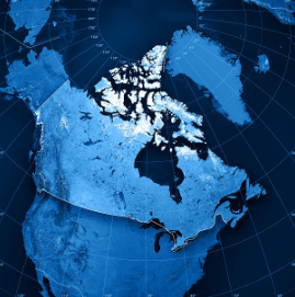
Geospatial data indicates the locations of features or objects in the world; for instance, the physical locations of cities, rivers, or roads. It's used in GPS systems, apps on your phone, and by researchers and planners to understand and manage the world around us.
Geospatial data enables us to model real-world features, such as buildings, roads, lakes, and boundaries, on a computer screen using GIS (Geographic Information System) software. These features have attributes associated with their location, like the address of a building, the length of a road, or the types of trees in a forest.
To learn more about geospatial data and GIS software, including where to find it and how to use it, see our GIS Data & Software Guide.
Geospatial data for Symons Campus can be found on Trent's GeoHub.
MaDGIC can help you find, analyze, and visualize geospatial data in a GIS and other specialized software packages available to current Trent students, staff and faculty. Connect with our team via email to madgichelp@trentu.ca or book an appointment from our Contact Us page.